 |
|
Archway - Tower Bank |
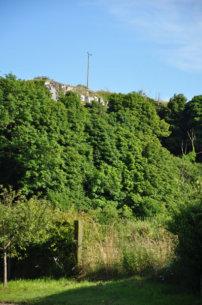
The Arval - Iron Age SettlementAn iron age settlement on the edge of the heugh to the west of Craster.
English Heritage label the site Monument No. 8084 and they have the following: Their full comments can be accessed at: English Heritage - Past Scape The following passage is to be found in the 'History of Northumberland', Ed. Bateson, 1892. "The township of Craster, in its older spelling 'Craucestre,' is situated on the coast at the south-eastern extremity of the parish of Embleton. The name of the place is probably derived from a camp upon Craster Heugh, about one-third of a mile south-west of the village, and a quarter of a mile east of Craster tower. The camp is an irregular entrenchment, naturally protected on the north and west by the steep sides of the heugh, and artificially defended on the east and south sides by two parallel ramparts. The ramparts, composed of earth and rough unhewn stones, may still be clearly traced to the north of a stone wall which now intersects the camp. To the south of this wall the outer rampart has been ploughed down, but the inner one remains. The camp is 215 feet long and 102 feet wide from the edge of the heugh to the inner rampart at the southern end. At the northern end it is 92 feet in width to the corner of the outer rampart. At the south-east corner of the camp a gap in the entrenchment has been made in recent times. The heugh on which the camp is placed is a high and undulating ridge of whinstone, which begins at Scrog Hill in the neighbouring township of Dunstan, and running southwards parallel to the coast terminates in the bay of Swine Den, two-thirds of a mile to the south of Craster village.' From the camp upon the summit of the heugh an excellent view may be obtained of the surrounding township." |
 |
Home Programme Membership Archive War Memorials History Walk Miscellanea Links Contact Us
